I know the Youg river Trail technically ends in Ohio Pyle State Park as the trail goes from going along the Youghiogheny River to the Casselman River and then across the Eastern Continental Divide through the Mt Salvage Tunnel and then to Frostburg MD, but I like the name better than the "Great Allegheny Passage". Furthermore the trail I am discussing was NEVER called the Youg or Youghiogheny River trail, instead was called the Allegheny Highland trail of PA or the Allegany Highlands Trail of MD. If you do not like me calling it the Youg Trail, E-mail me and I promise to delete the E-mail without Reading it.
As to Frostburg MD, Frostburg is built on a hillside. As a city built on a hillside you have several ways to get to the town, none of them good (Before any one from Frostburg complains about the previous sentence, I grew up in Pittsburgh and now live in Johnstown, two equally mis-designed cities, the comment is a critique not a put down). Next time I try this trip I will have to park my Jeep at Deal and them go downhill to Frostburg after going through the Mt Salvage Tunnel. I prefer to go uphill and than downhill, but in this case given the roads the quickest way for me to do the trip would be Deal to Frostburg as opposed to going to Frostburg.
The Great Allegheny Passage passes through a through Frostburg, but off to the side as seen in the map below:
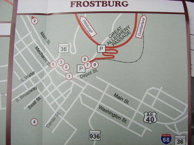
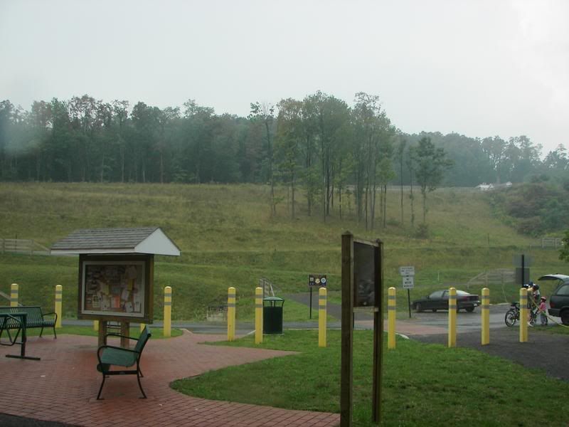
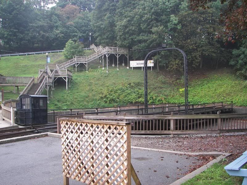
Note the Bike Trail goes to the East of the Town and then works its way up to the Mt Salvage Tunnel. Now yesterday (September 10, 2006) I tried to bike from Frostburg to the Mt Salvage Tunnel but it was raining when I arrived in Frostburg for I had left to late to really do the bike ride. Anyway I did find the way to the Frostburg Station and the Bike Trail. As you can see in the map the old C&O railroad ran two sets of tracks into Frostburg, the present bike trail and the present Steam Locomotive Tourist attraction (Western Maryland Scenic Railroad). The Tracks are separated by a grade that you can climb from the bike trail to the railroad station (There are a series of Switch backs for Pedestrians and cyclist to climb from the bike trail to the railroad station).
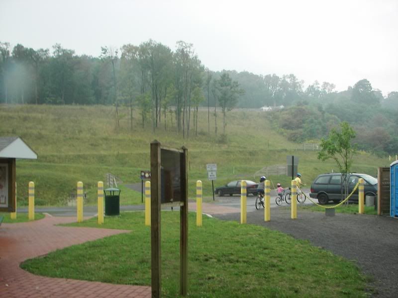
Picture of the Switchback from the Bike trail:
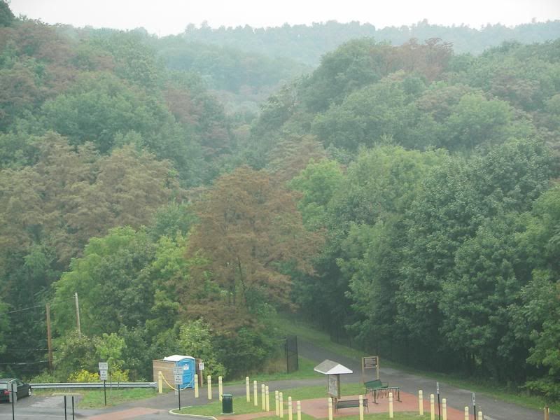
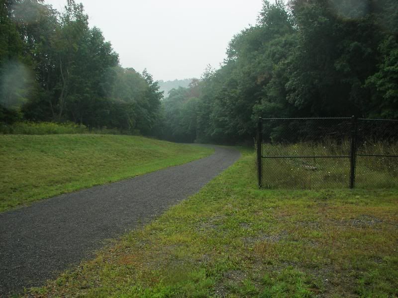
The trail coming from Cumberland (The trail is presently closed six miles south of Frostburg)
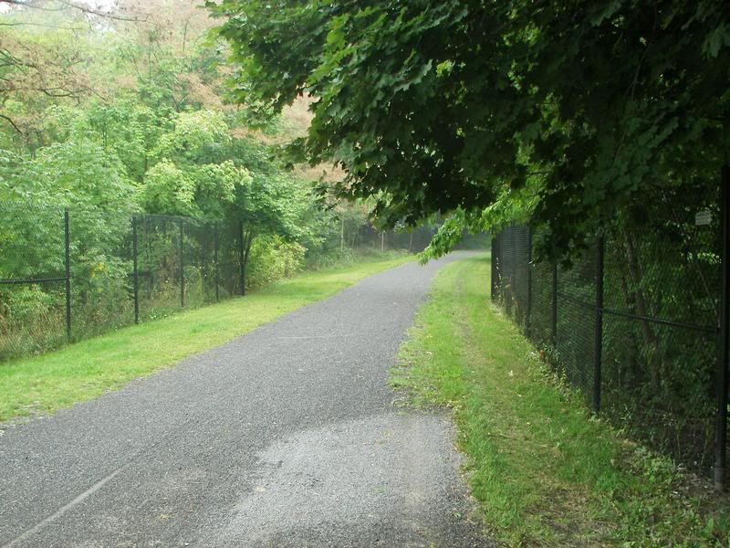
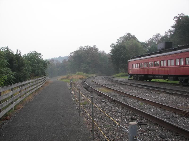
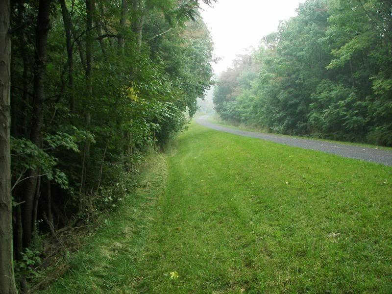
The trail to Myersdale, Mt Salvage Tunnel and Pittsburgh:
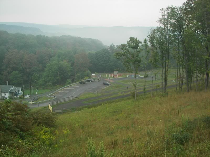
Same trail from top of the Switchbacks (i.e. the tracks of the Western Maryland Scenic Railroad):
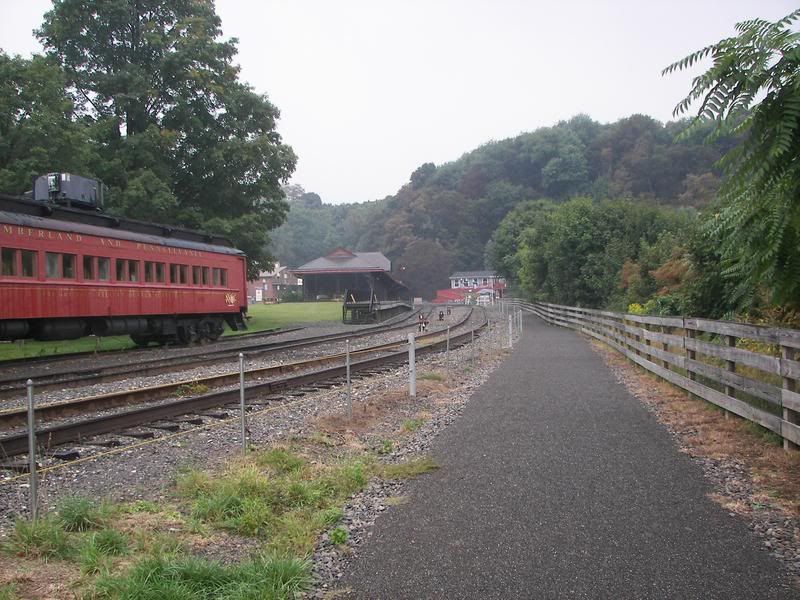
Once you up the switchbacks you get to the Railroad (Looking back to the switchbacks):
Looking forward to the Railroad Station:
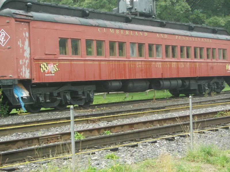
A better view of the old Passenger car (It needs some work):
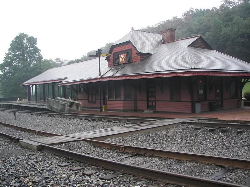
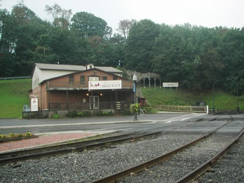
The railroad Station itself:
The "Thrasher Carriage Museum": Which is right beside the train:
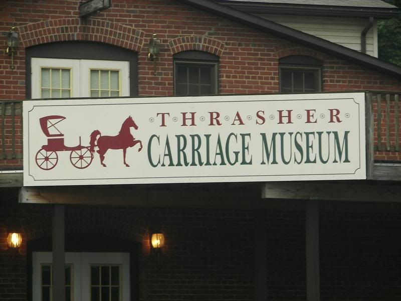
The Thrasher Carriage Museum Web Site:
http://www.thrashercarriage.com/You know you are in the Mountains, the Steps to "Downtown Frostburg":
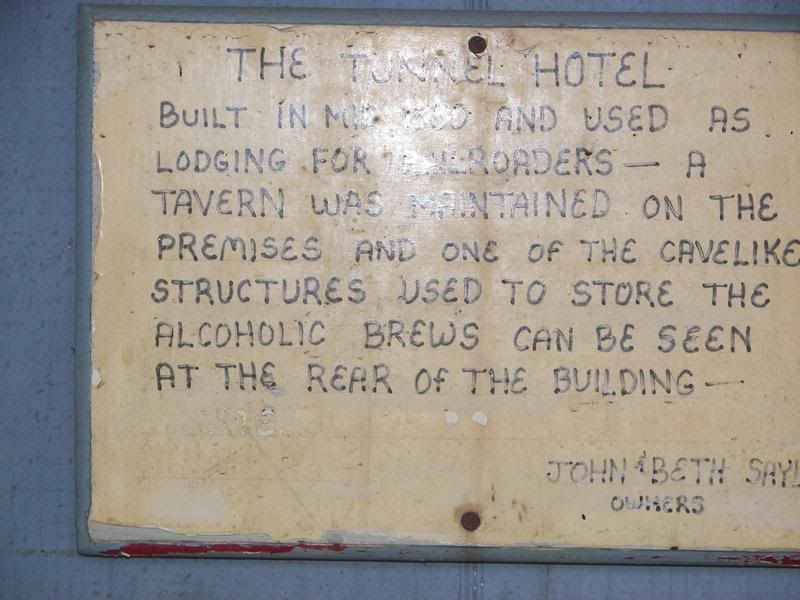
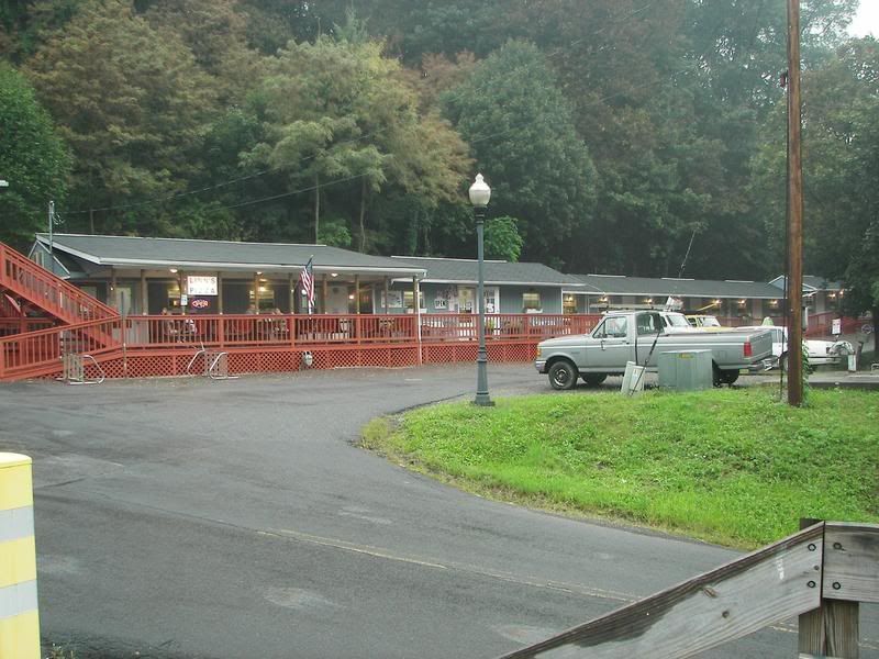
Also at this site is an old hotel (1900 type, converted to very small stores, through you can get rooms but they are to the left of the old Hotel:
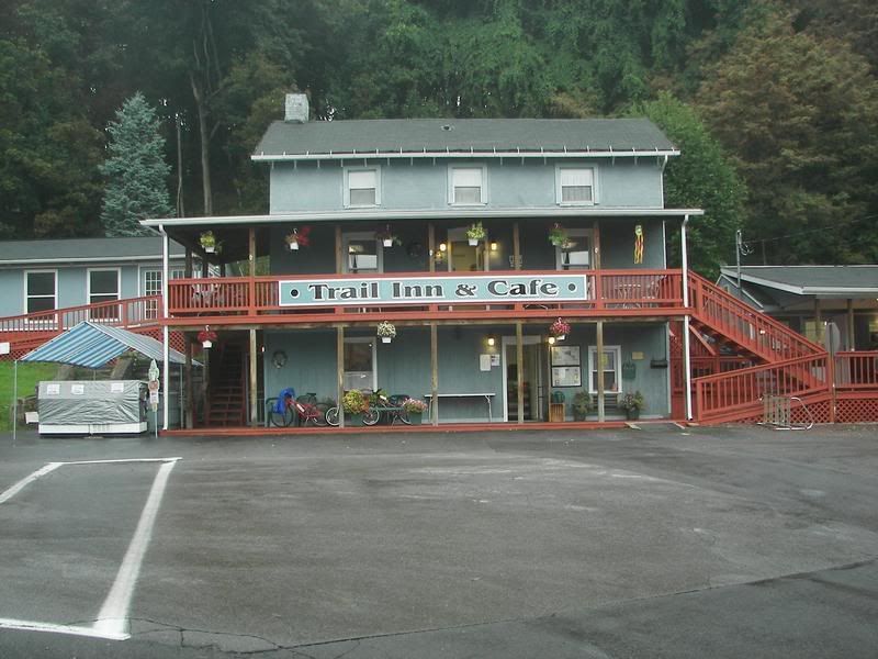
Picture of the Pizza place with the six rooms for rent to the left of the Pizza place:
Finally I climb down from the Station and here is a picture of the Trail going to Pittsburgh:
On the bike trail you go over two bridges in Frostburg, the first just off the parking lot over Ne hope road which ends at Depot Road where the Railroad station is:
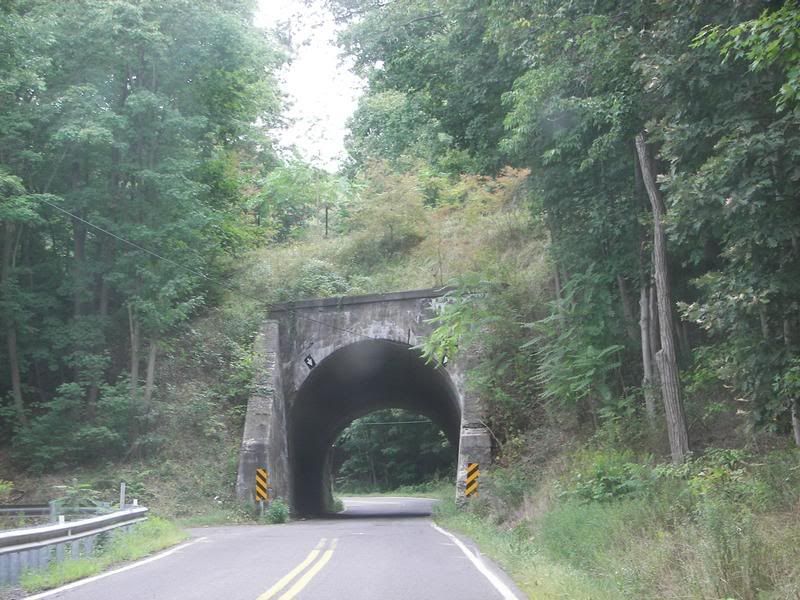
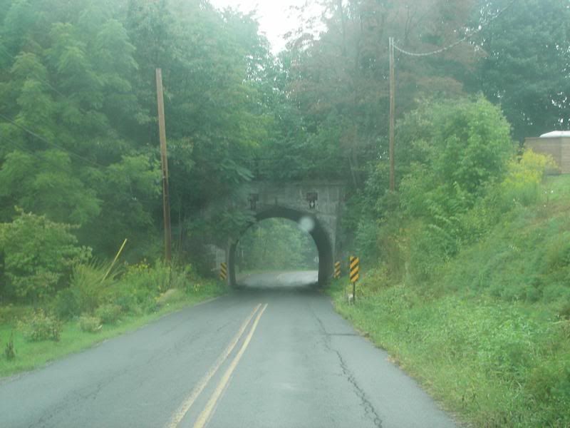
New Hope Road Tunnel (from the road going UNDER the bike trail):
Th Second is over "Mt Salvage Road" about a ½ mile beyond New Hope Road (another view from Mt Salvage Road looking up hill):