Hi Folks,
I've been swamped at work, but took some photos on a hike I did last month, in October, and wanted to share with all. I love getting out to our mountains; you'd be surprised what San Diego (County) has to offer! :)
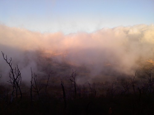
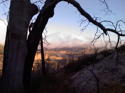
This is a view of Mount Cuyamaca from the Stonewall Peak trail. It was about 7am, 40 degrees out and I was in shorts and a short sleeve t-shirt... very COLD! The distance between Stonewall Peak and Cuyamaca Peak is mabye a couple of miles, but it looks like a world apart with all this fog!
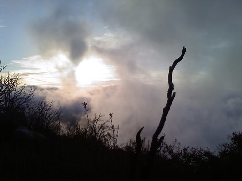
A shot of the constantly moving fog clouds with the sun behing them... it was so beautiful, as I was on the cusp of the clouds. To the west of me was Cuyamaca and the majority of San Diego County covered in a thick blanket of fog, and to the east was a great sunrise with blue skies and no clouds; simply amazing!
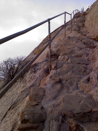
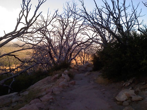
These are the steps (the final climb) up to Stonewall Peak
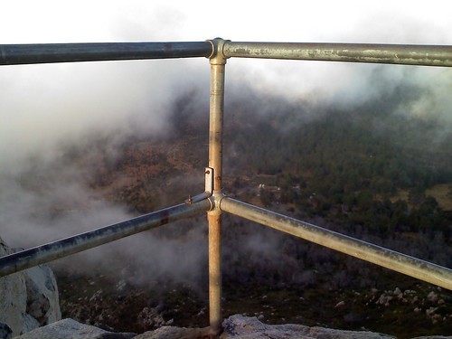
It gets really windy up here, hence the everchanging fog and landscape. At the peak the forest rangers put up poles so that you could hold on and not fall off!! If you look closely, you can see the forest floor below...
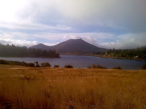
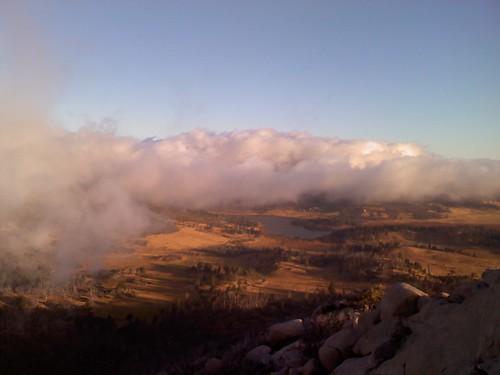
A view of Lake Cuyamaca from Stonewall Peak
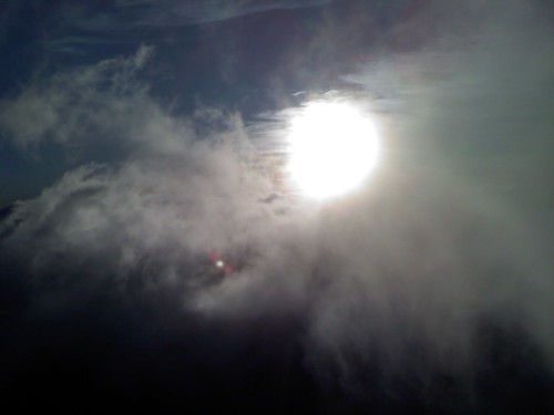
The sun peeking through the clouds (on the peak)
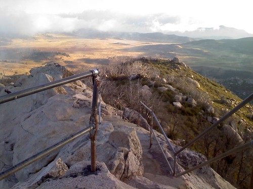
Looking down the "stairs" and into the valley below
A peek-a-boo view of Lake Cuyamaca on the hike back down
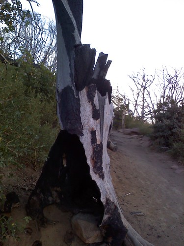
The Cedar Fire ripped through here in 2007, causing everything to get charred to a crisp. You can see the vegetation is growing back, but the trees are a firm reminder of how quickly life can pull a fast one on ya!
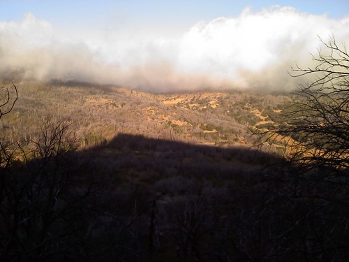
Stonewall Peak's shadow cast upon Mount Cuyamaca
Death Surrounded By Life
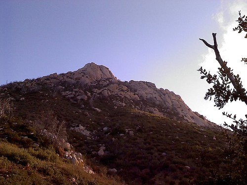
Stonewall Peak (from about 1/2 way down the mountain)
And Finally... a View of Lake & Mount Cuyamaca from the road. It's amazing what pictures you can get from a cell phone (and to think I was super bummed out that I forgot my true camera at home that morning)